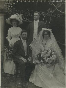
SA 0001-s34-298a-19520404
·
Item
·
4 April 1952
Part of Wagga Wagga Teachers' College [WWTC]
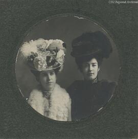
![Photograph of Ella Birch [nee Condon]](/uploads/r/rw/1/0/5/105cc029f4e64edfab53428251de1e6bc3ffabe0291d51db588a9c1d7aaac557/RW5_019_142.jpg)

![De Gruchy & Co.'s New Squatting Map of Riverina District of NSW shewing all the townships, reserves, roads, stations, &c. &c. with their appproximate boundaries and replete with general information to the latest dates: togehter with alphbetically arranged index of all the Squatting Stations 1877 [lithograhed and published by De Gruchy & Co. 21 Elizabeth St, Melbourne]](/uploads/r/rw/2/3/2/2329958d34e3787632452358fbdab31cb6144f92eb72528525c1933913b33d80/RW5_070_142.jpg)

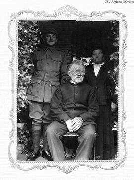
![Photograph of Wagga Wagga Fire Brigade members: GA Smith; P Spies [standing]; E Atherton; and G Shaw [seated]](/uploads/r/rw/b/7/4/b74d241d0b5ce38c95fe59b9d02c5ae208bae947929a5ee2f50919421e9993e0/RW5_107_142.jpg)